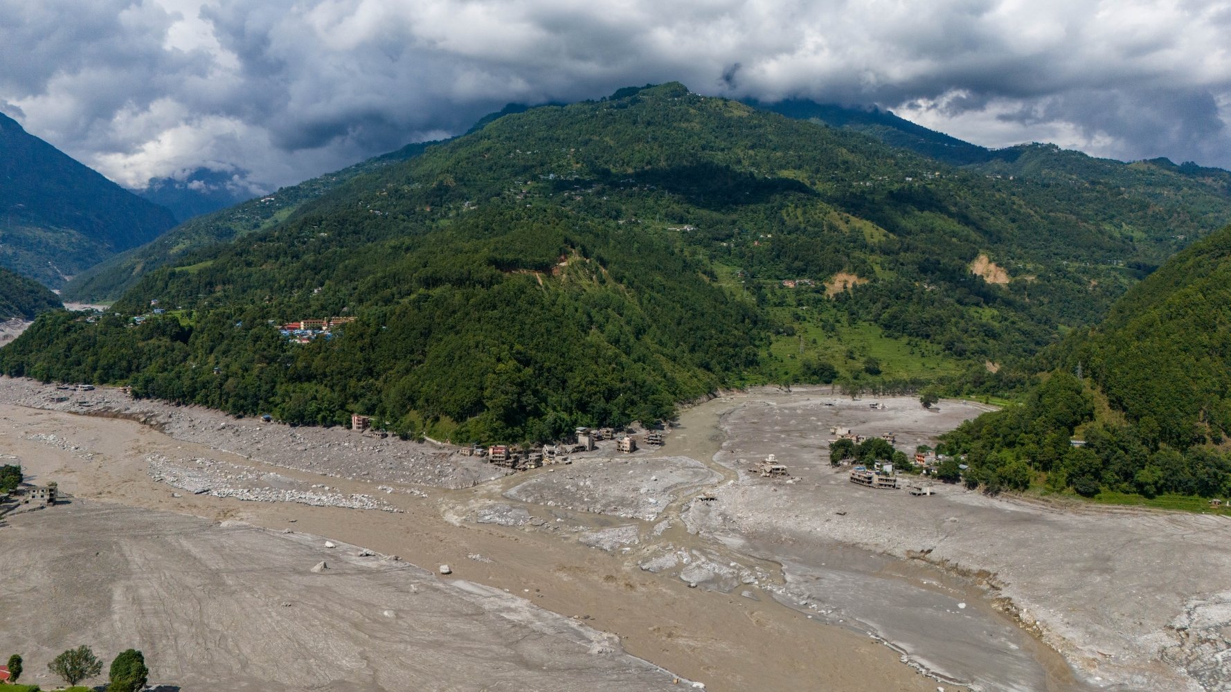
In coverage of the catastrophic Bhote Kosi flood, many mainstream western news outlets have failed to confidently state the significance of the climate crisis, or to cite the human-made structures that produce it.
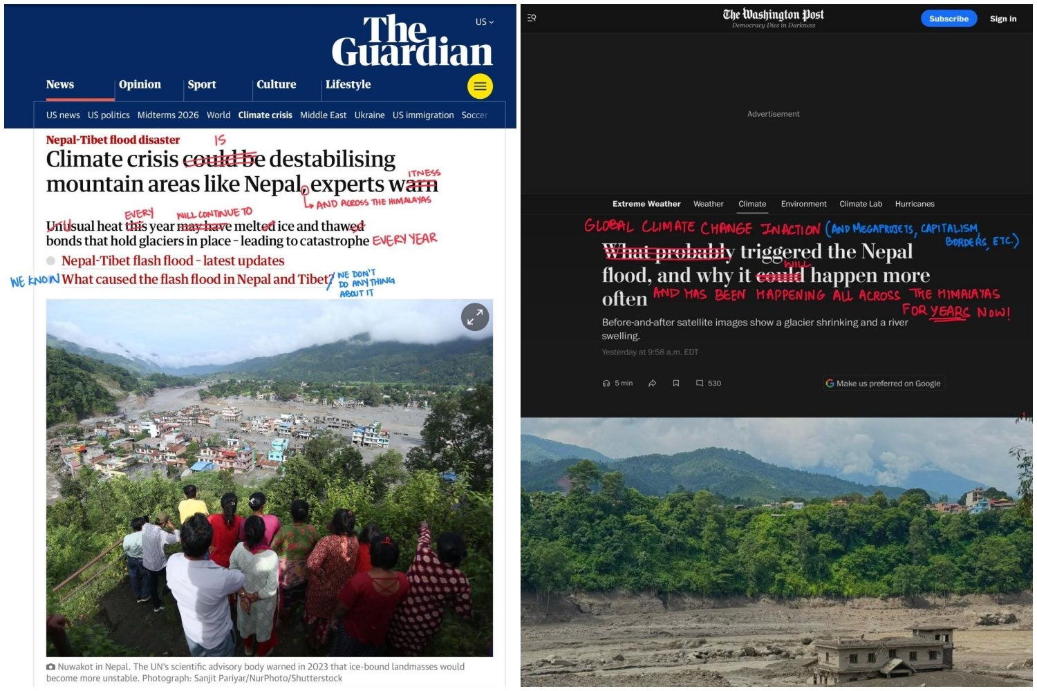
Headlines from The Guardian (left) and The Washington Post (right) covering the Nepal-Tibet flood, marked in red by designers and former Harvard classmates Fatima Hamdani and Bhavya Jain. Photos: FATIMA HAMDANI AND BHAVYA JAIN / INSTAGRAM
In coverage of the catastrophic Bhote Kosi flood, many mainstream western news outlets have failed to confidently state the significance of the climate crisis, or to cite the human-made structures that produce it.
Two days after catastrophic flooding began, designers and former Harvard classmates Bhavya Jain and Fatima Hamdani posted a carousel of headlines plucked from mainstream western news outlets on their Instagram.
By taking a red pen to each headline in the style of Alexandra Bell’s Counternarratives series, Hamdani and Jain called attention to journalists’ noncommittal tone, which served to obfuscate the connection between the Bhote Kosi flood and climate change.
The post went viral, with more than 32,000 likes at press time. In an accompanying article on Hamdani and Jain’s shared Substack, Climate Without Borders, they write that news agencies “quote survivors’ shock and panic” but not “experts’ warning from decades past on the climate crisis.”
“Ambiguity is always dangerous because it shies away from responsibility,” Jain tells me. “It is the work of the media to bring attention to evidence that has been ignored or years now.”
DENIALISM
While Hamdani and Jain call out mainstream western media for failing to establish a strong causal link between the flood, glacial collapse, and the warming atmosphere, some argue that western journalists are using climate change as “an explanation without evidence.”