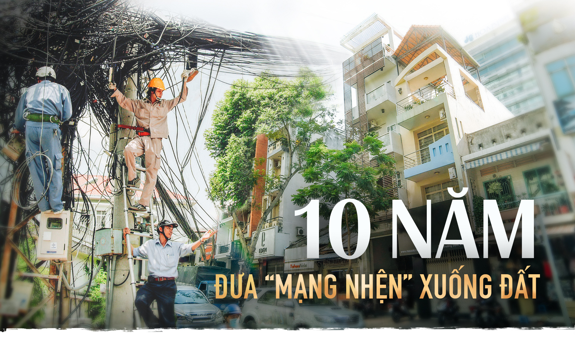
VNE – Thứ tư, 1/8/2018, 12:30
Một thập kỷ sau khi được quy hoạch, nhiều “đô thị vệ tinh” của Hà Nội vẫn chỉ tồn tại trên bản vẽ.
Chị Tâm kinh doanh cửa hiệu tạp hóa trước cổng chợ Trung Sơn Trầm hơn bảy năm nay. Một ngày của chị, cũng như của nhiều hộ sinh sống dọc đoạn quốc lộ này, bắt đầu bằng việc diệt giặc bụi.
Nhà nào không buôn bán sẽ đóng tất cả các loại cửa sổ, cửa ra vào suốt ngày. Những hộ kinh doanh lớn sẽ đầu tư mạnh tay một vòi phun nước tưới ướt khoảng đường trước cửa.
Chị Tâm không có tiền để phun nước tưới đường. Cách chị chọn là trùm kín tất cả những mặt hàng nào có thể lấy túi nylon để trùm lên được: cặp sách, thú bông, hoa giấy, tập vở…
Thứ chị bán chạy nhất là khẩu trang. Đi qua đoạn phố này, ai cũng cần.
Tháng 10/2010, dự án cải tạo nâng cấp tuyến phố Tùng Thiện nằm trên quốc lộ 21A, Trung Sơn Trầm được phê duyệt, do Ủy ban Nhân dân thị xã Sơn Tây làm chủ đầu tư với tổng mức hơn 246 tỷ đồng, dự kiến hoàn thành năm 2013.
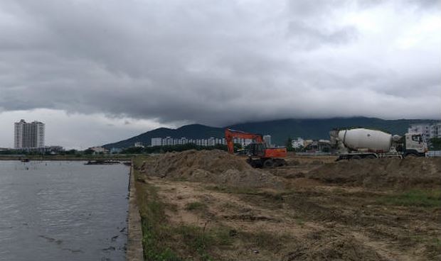
Không lâu sau, Trung Sơn Trầm trở thành một nơi bụi mù quanh năm. Những đoàn xe kéo qua đoạn quốc lộ dang dở tạo ra một đám mây trắng đậm đặc của bụi phủ vây khu dân cư. Và khung cảnh giữ nguyên cho đến năm 2018, tròn một thập niên kể từ khi Sơn Tây “về thủ đô”.

Tiếp tục đọc “Đô thị vệ tinh của Hà Nội – một hình hài bất động”
.jpg)