
nhandan.vn Chủ Nhật, ngày 08/02/2026
Năm 2025, được ghi nhận là một trong những năm đặc biệt, có diễn biến thiên tai cực đoan, đặt ra áp lực lớn đối với công tác chỉ đạo, điều hành. Tuy nhiên, nhờ cách làm mới, chuyển từ ứng phó sự vụ sang chiến lược dài hạn; lấy khoa học công nghệ, chuyển đổi số làm nền tảng, đã giúp giảm đáng kể tác hại do thiên tai gây ra.
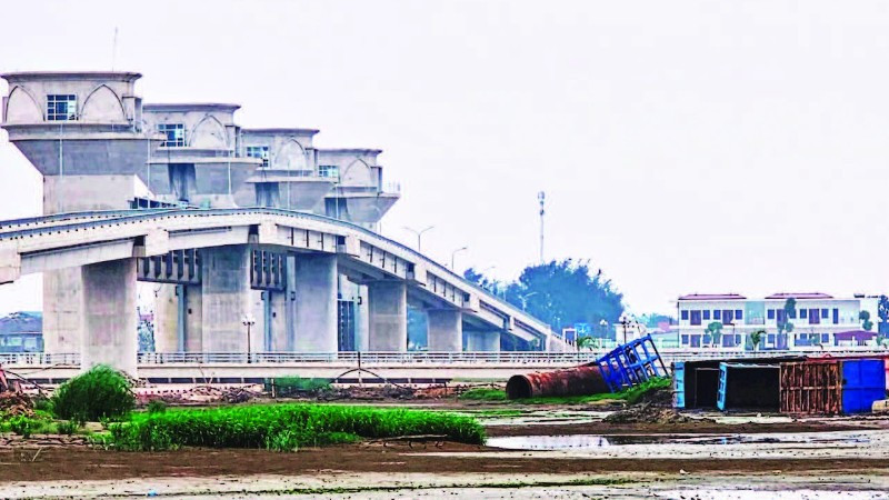
Theo Cục trưởng Cục Quản lý đê điều và Phòng, chống thiên tai (Bộ Nông nghiệp và Môi trường) Phạm Đức Luận: Tại Việt Nam, trong năm 2025, thiên tai đã gây ra những con số thiệt hại lớn, với 468 người chết và mất tích, 741 người bị thương, thiệt hại kinh tế ước tính gần 98.700 tỷ đồng. Đó không chỉ là tổn thất về vật chất, mà còn là những hệ lụy lâu dài đối với đời sống và sinh kế của hàng triệu người dân. Trong năm, đã chứng kiến những cơn bão chồng bão, mưa lớn vượt ngưỡng kỷ lục, sạt lở đất kinh hoàng xảy ra ở nhiều vùng, miền… Trong bối cảnh đó, song song với ứng phó, công tác phòng ngừa và kiểm soát rủi ro thiên tai được đặc biệt chú trọng. Cục Quản lý đê điều và Phòng, chống thiên tai đã tham mưu hoàn thiện cơ chế chỉ đạo phòng, chống thiên tai, không để gián đoạn trong giai đoạn cả nước kiện toàn tổ chức vận hành theo mô hình chính quyền địa phương 2 cấp.
. Source: Adapted from U.S. Geological Survey")

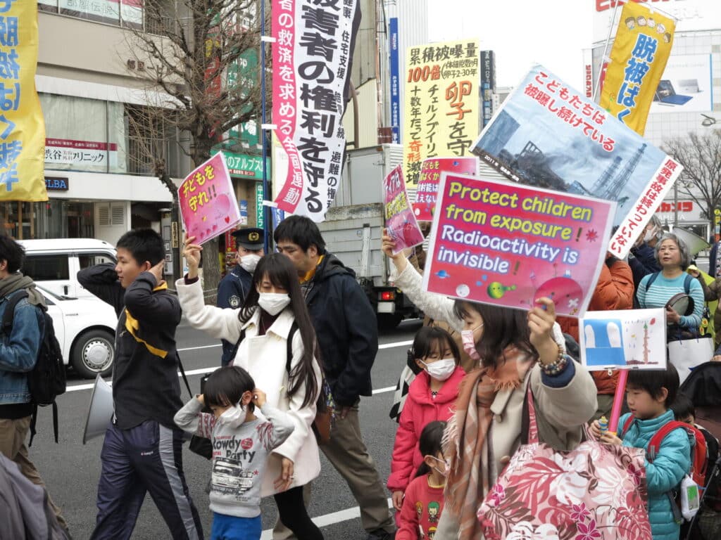 Mothers march in Tokyo against radiation exposure risks five years after the Fukushima nuclear disaster on March 5, 2016. (Photo by Maxime Polleri)Share

