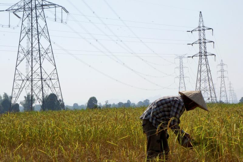
ZHENGZHOU, China, April 20 (Reuters) – Severe power shortages in China’s southwestern Yunnan province are likely to cut aluminium production in the country’s fourth-largest producing province, analysts and producers said, but weak demand will cap price rises.
Yunnan, which accounts for about 12% of China’s aluminium capacity, has forced electrolytic aluminium producers to reduce their power usage since September last year after unusually low rainfall reduced hydropower generation.
Hydropower generates about 80% of the province’s electricity, and had attracted investment by energy-intensive aluminium smelters keen to lower their emissions.
The output of the metal in Yunnan jumped by 37% in 2022 from the prior year to 4.2 million tonnes.
Now, however, about 2 million tonnes of capacity, or 20% of the provincial total, is offline, Li Jiahui, an analyst at consultancy Shanghai Metals Market, told a conference in Zhengzhou.
Average rainfall in Yunnan during the first quarter of 2023 was 60% lower than the same period in typical years, the provincial government’s emergency management department said.
Hydroelectric reservoirs’ water levels are lower than annual averages, according to a May 10 report from Vietnam Electricity Group (EVN), and 10 are either close to or under the ‘dead level’.
Current water levels at Lai Chau hydroelectric reservoir. (Photo: kinhtedothi.vn)
Hanoi (VNS/VNA) – Hydroelectric reservoirs‘ water levels are lower than annual averages, according to a May 10 report from Vietnam Electricity Group (EVN), and 10 are either close to or under the ‘dead level’.
During the monitoring of the national electricity system in April and early May, prolonged intense heat waves across a wide area led to a significant increase in electricity consumption.
Even though the early May heatwave in the northern region only lasted a few days, it resulted in very high levels of power capacity and electricity consumption throughout the country.
For instance, the total power consumption on May 6, albeit a Saturday, reached 43,300 megawatts, while the total energy consumption reached 895 million kilowatts per hour (kWh).
Forecast for the upcoming months of May, June, and July indicates that the northern region will enter the peak period of hot weather, resulting in an increasing trend of electricity consumption, surpassing the planned operation of the national power system approved by the Ministry of Industry and Trade.
Meanwhile, the hydrological situation of reservoirs in recent months has experienced unfavourable fluctuations, significantly lower than the multi-year average.
Many hydropower reservoirs across the country are facing water shortages, with several hydropower reservoirs in the central and southern regions experiencing low water levels.
According to the EVN, 10 are close or under the “dead level”, which means that the total consumption is under 4,500 megawatts.
These reservoirs are Lai Chau, Tri An, Ialy, Ban Chat, Huoi Quang, Trung Son, Buon Kuop, Buon Tua Srah, Srepok 3, and Song Ba Ha.
The remaining electricity production in the entire system is 4.5 billion kWh, which is 1.6 billion kWh lower than the planned amount and 4.1 billion kWh lower than the same period in 2022.
According to the forecast by the National Centre for Hydro-Meteorological Forecasting (NCHMF), as El Nino is expected to occur in the later months of 2023, there will be higher temperatures and lower rainfall compared to the multi-year average, which will further contribute to a decreasing trend in water inflow to reservoirs during the second half of the year.
To deal with this situation, EVN asked its customers to tighten energy-saving consumption, especially in the noon and evening hours.
EVN recommends putting air conditioners at a reasonable level, between 26 to 27 degrees Celsius, and avoiding using multiple high-capacity electrical devices simultaneously./.
Earthquakes can be induced by dams. Globally, there are over 100 identified cases of earthquakes that scientists believe were triggered by reservoirs (see Gupta 2002). The most serious case may be the 7.9-magnitude Sichuan earthquake in May 2008, which killed an estimated 80,000 people and has been linked to the construction of the Zipingpu Dam.
How Do Dams Trigger Earthquakes?
In a paper prepared for the World Commission on Dams, Dr. V. P Jauhari wrote the following about this phenomenon, known as Reservoir-Induced Seismicity (RIS): “The most widely accepted explanation of how dams cause earthquakes is related to the extra water pressure created in the micro-cracks and fissures in the ground under and near a reservoir. When the pressure of the water in the rocks increases, it acts to lubricate faults which are already under tectonic strain, but are prevented from slipping by the friction of the rock surfaces.”
Given that every dam site has unique geological characteristics, it is not possible to accurately predict when and where earthquakes will occur. However, the International Commission on Large Dams recommends that RIS should be considered for reservoirs deeper than 100 meters.
Depth of the reservoir is the most important factor, but the volume of water also plays a significant role in triggering earthquakes.
RIS can be immediately noticed during filling periods of reservoirs.
RIS can happen immediately after the filling of a reservoir or after a certain time lag.
Many dams are being built in seismically active regions, including the Himalayas, Southwest China, Iran, Turkey, and Chile (see map). International Rivers calls for a moratorium on the construction of high dams in earthquake-prone areas.
By 2015, the dam industry had choked more than half of the Earth’s major rivers with some 57,000 large dams. The consequences of this massive engineering program have been devastating. The world’s large dams have wiped out species; flooded huge areas of wetlands, forests and farmlands; and displaced tens of millions of people.
Courtesy of James Syvitski at Colorado University, who produced the video with Bob Stallard of the USGS and Albert Kettner at CSDMS. Data from Alex de Sherbinin (CIESIN, University of Colorado), and Bernhard Lehner (Department of Geography, McGill University).
The “one-size-fits-all” approach to meeting the world’s water and energy needs is also outdated: better solutions exist. While not every dam causes huge problems, cumulatively the world’s large dams have replumbed rivers in a massive experiment that has left the planet’s freshwaters in far worse shape than any other major ecosystem type, including tropical rainforests. In response, dam-affected communities in many parts of the world are working to resolve the legacies of poorly planned dams. Elsewhere (and especially in North America), communities are starting to take down dams that have outlived their usefulness, as part of a broader river restoration movement.
Green water – the rainwater available to plants in the soil – is indispensable for life on and below the land. But in a new study, we found that widespread pressure on this resource has crossed a critical limit.
The planetary boundaries framework – a concept that scientists first discussed in 2009 – identified nine processes that have remained remarkably steady in the Earth system over the last 11,700 years. These include a relatively stable global climate and an intact biosphere that have allowed civilisations based on agriculture to thrive. Researchers proposed that each of these processes has a boundary that, once crossed, puts the Earth system, or substantial components of it, at risk of upset.
(PLO)- Nhiều thủy điện ở Tây Nguyên thuộc lưu vực sông Ba bất ngờ xả lũ xuống hạ du, gây ngập nặng nhiều vùng ở Phú Yên, người dân không kịp ứng phó.
Thông tin với Pháp Luật TP.HCM, ông Trần Hữu Thế, Chủ tịch UBND tỉnh Phú Yên, cho hay đến tối 30-11, nhiều vùng ven sông Ba thuộc TP Tuy Hòa, các huyện Phú Hòa, Sơn Hòa, Tây Hòa, Đông Hòa đã bị ngập nặng. Hàng ngàn căn nhà bị ngập sâu trong nước, hàng loạt xã, khu dân cư bị lũ cô lập. Quốc lộ 25, quốc lộ 29 từ TP Tuy Hòa đi Tây Nguyên, phần lớn các tuyến giao thông trọng yếu đã bị tê liệt, ách tắc do ngập sâu trong nước, sạt lở.
By Ekaphone Phouthonesy12 October 2021 at 1:30 (Updated on 18 October 2021 at 15:00)
Through a variety of data sources an evidence-based picture of electricity pricing and the electricity-generation business in Laos is revealed.
A 42-year-old resident of Thongsanang village in central Vientiane, nicknamed To, was upset after receiving an electricity bill in May that was almost twice as high as normal.
“I’m going to send a letter to EDL asking them to investigate this unusual increase in my bill,” he told friends at a local coffee shop.
“Normally, I pay around 900,000 kip (US$95) a month, but this month I had to pay 1.6 million kip (US$168),” said Mr To, a worker with a monthly salary of about 1.8 million kip (US$190).
ec.europa.eu_In an article published in Nature on 7 December 2016, JRC scientists describe how, in collaboration with Google, they have quantified changes in global surface waters and created interactive maps which highlight the changes in the Earth’s surface water over the past 32 years.
Based on over three million satellite scenes (1 823 Terabytes of data) collected between 1984 and 2015, the Global Surface Water Explorer was produced using 10 000 computers running in parallel. The individual images were transformed into a set of global maps with a 30-metre resolution, which enable users to scroll back in time to measure the changes in the location and persistence of surface water globally, by region, or for a specific area. The maps are available for all users, free of charge. Tiếp tục đọc “Bản đồ hoá hiện trạng nước mặt toàn cầu: Mapping long-term global surface water occurrence”→